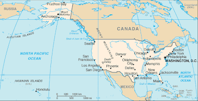
GIS data is everywhere. Some you have to pay for but much of it is free and widely available like at the sites below. Doing a search for free GIS data will yield some of the data sources I mention here. Locating other sources just takes a little digging. Almost all of these sites are from the U.S. government so the datasets are largely nationwide.
- GIS Data Depot – Large data holding in various formats from various sources.
- USDA Geospatial Data Gateway – Environmental and natural resources Data including imagery
- BLM Internet Sites – List of BLM sites hosting a variety of public lands data. Some state specific data
- U.S. Department of Transportation – Transportation data sets and links to other GIS data sources
- National Park Service – Interactive data search map. Data provided in .csv or .xlsx formats
- EPA – Environmental Dataset Gateway
- USGS – High res orthoimagery downloads from the Seamless Data Warehouse
- FEMA – Emergency and disaster datasets in formats including KMZ, shp, and geoRSS
- Census – TIGER products including data up to 2011
- NOAA Vents Program – Great resource for Bathymetric GIS datasets related to hydrothermal vents
Other great sources for free GIS data include city, county and state websites. Pages likely to include useful geospatial data include departments of transportation, departments of wildlife and county assessor’s offices.
Many government entities centralize their GIS data repositories. Others will distribute the data to the various departments they pertain to. With a little bit of site searching you should come up with whatever you are looking for.
